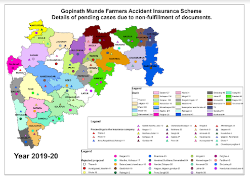
Interactive Leaflet Map of Village Land Parcels with Parcel Number and Owner Details.
Interactive Leaflet Map of Village Land Parcels with
Parcel Number and Owner Details.
Link For The Leaflet Map:https://kajol123-cell.github.io/Village_Land_Information/#14/20.9487/74.7269
Project Overview
Objective:
The project involves creating an interactive web map of a village that displays
land parcels with detailed information about each parcel. Users can click on
individual parcels to view specific details such as the parcel number and owner
information.
Tools and Technologies Used:
- Leaflet: A
popular open-source JavaScript library for interactive maps.
- GIS
Application: Used for digitizing scanned maps and attributing
parcel data.
Process Overview:
- Data
Collection and Preparation:
- Scanned
Maps: High-resolution scanned images of village maps were
obtained.
- Digitization: The
scanned maps were digitized using a GIS (Geographic Information System)
application. This involved tracing the land parcels and creating digital
vector representations of the parcels.
- Attribute
Data:
- Field
Information: Attribute fields were filled in the GIS
application, including parcel numbers and owner details.
- Map
Creation:
- Leaflet
Setup: An interactive map was set up using Leaflet. The map view
was centered on the village, and the zoom level was adjusted to display
the entire area of interest.
- Tile
Layer: Added a base layer from a tile service like OpenStreetMap
to provide a visual backdrop for the map.
- Overlay
Parcels: The digitized parcel data was overlaid onto the Leaflet
map. Each parcel was represented as a marker or shape (e.g., polygons) on
the map.
- Interactive
Features:
- Markers/Shapes: For
each parcel, a marker or shape was added to the map at the coordinates
derived from the digitized data.
- Popups: Popups
were bound to each parcel marker or shape. When a user clicks on a
parcel, the popup displays the parcel number and owner details.


Comments
Post a Comment